Freeport, The Bahamas
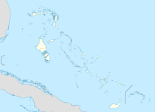
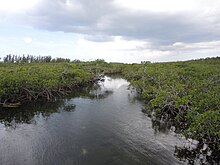
City in Grand Bahama, The BahamasFreeport is a city, district and free trade zone on the island of Grand Bahama of the northwest part of The Bahamas. In 1955, Wallace Groves, a Virginian financier with lumber interests in Grand Bahama, was granted 20,000 hectares of pineyard with substantial areas of swamp and scrubland by the Bahamian government with a mandate to economically develop the area. Freeport has grown to become the second most populous city in The Bahamas.
Read article
Top Questions
AI generatedMore questions
Nearby Places
Grand Bahama International Airport
Airport in the Bahamas
Grand Bahama Sports Complex
Stadium in the city of Freeport in the Bahamas

Lucaya, Bahamas
Suburb in Freeport, Grand Bahama, Bahamas
Luis de Torres Synagogue

MS Logna
First ship intentionally sunk as artificial reef and recreational dive site in the Bahamas
Mary Star of the Sea Church, Freeport
Church in Freeport, Bahamas

Eight Mile Rock
Town in Grand Bahama, Bahamas
Rand Nature Centre


